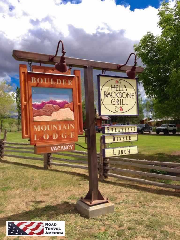
Boulder, Utah Travel Guide
On Utah Scenic Byway 12 is located the small community of Boulder, 32 miles north of the town of Escalante, and 40 miles south of Torrey. Boulder takes its name from nearby Boulder Mountain, a vast timbered plateau of the Dixie National Forest that rises to 11,316 feet.
According to the town, it was the last in the nation to receive mail by mule train, changed only by the completion of a year-round road in 1939.
The Boulder population today totals about 180 residents.
Things to Do in the Boulder Area
The community is a popular jumping off destination for road trips along Utah Scenic Byway 12 and the Hogsback, the Hell's Backbone Scenic Road, the Cottonwood Canyon Road Scenic Backway, Hole-in-the-Rock Scenic Backway and the Burr Trail Scenic Backway.
The area offers bountiful camping, off-roading, hiking and other outdoor activities and options.
Also popular with tourists is the Anasazi State Park, which includes a museum displaying ancient Anasazi artifacts, ruined walls, and other structures from an ancient Native American village.
 |
Boulder Utah Lodging & Dining
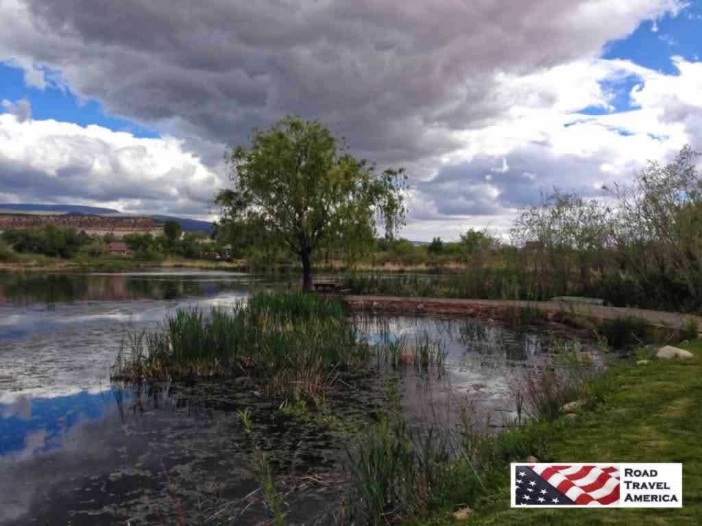
We have stayed at the Boulder Mountain Lodge during our trips to the area. It offers a variety of rooms and suites, in a single-floor unit or in a two floor building. It is located at the head of the Burr Trail, at 20 North Highway 12 in Boulder. Phone 435.335.7460. On the beautiful grounds is a pond, the well known and highly respected Hell's Backbone Grill, and an excellent gift shop.
The grounds of the The Boulder Mountain Lodge |
|
Scenic pond at the The Boulder Mountain Lodge
 |
Hell's Backbone Grill at the Boulder Mountain Lodge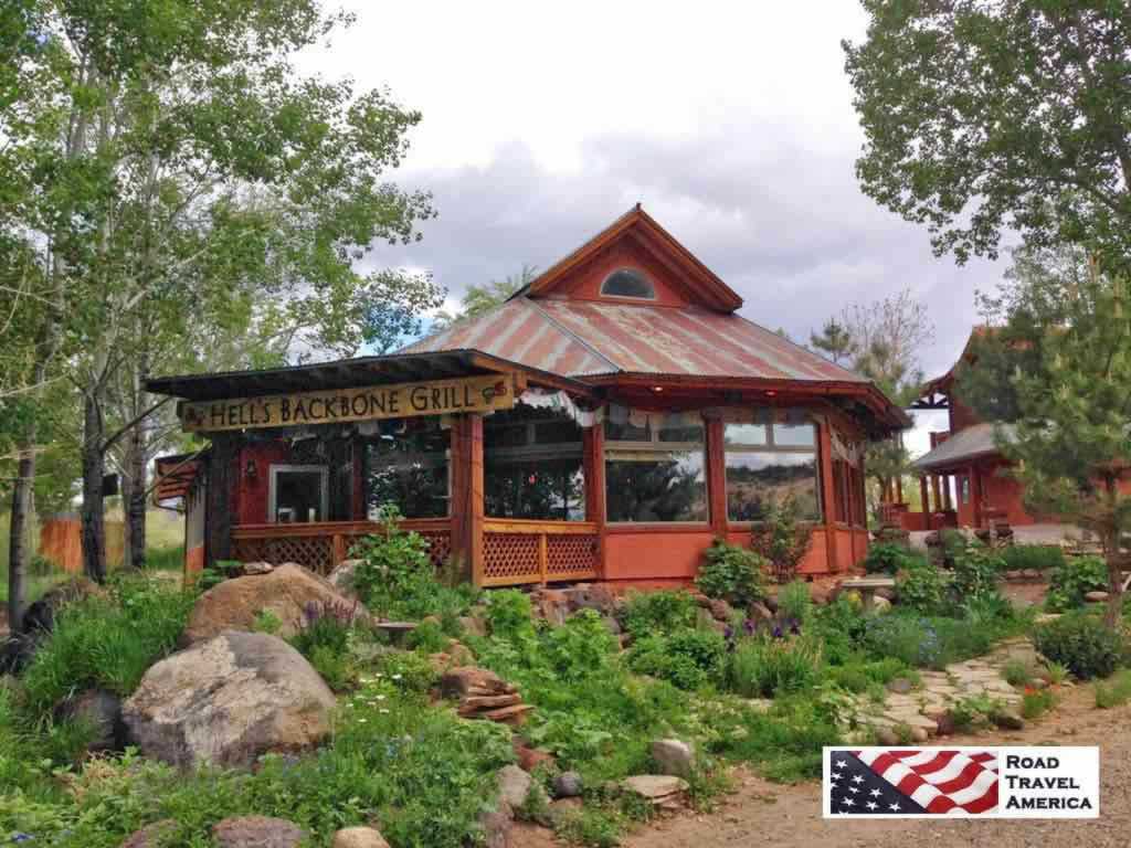 |
On other trips to Boulder we have stayed at Pole's Place Motel located at 465 North Highway 12, across from Anasazi State Park. It was founded by Eugene Napoleon "Pole" Griffin, and is today owned by a fourth-generation Boulder family. The motel is small, clean and quiet, with free parking right outside your door. Phone 435.335.7422.
Other lodging and B&Bs are also available in the area. Several dining options are available including the Burr Trail Grill, Burr Trail Outpost, Hell's Backbone Grill and others.
Driving the Burr Trail and staying in Boulder? Read lodging reviews, check availability and make reservations via TripAdvisor |
Interactive Map of the Boulder, Utah Area
The Burr Trail Scenic Backway
The Burr Trail, which begins at Boulder, and ends at Bullfrog, is one of our favorite back roads in the country. We have driven it several times, sometimes in a 4x4 Jeep, other times in a 2WD Toyota 4Runner. It is typically quiet, with little or no traffic. In earlier years the entire length of the road was dirt; today parts are paved. The drive and views are stunning! The switchbacks are breathtaking!
The road which connects Boulder with Bullfrog passes through the painted rock country of Glen Canyon National Recreation Area, Capitol Reef National Park, and Grand Staircase-Escalante National Monument.
Driving time from Bullfrog Visitor Center to Boulder is about 2 hours, while continuing on to the Escalante Visitor Center will make the total trip about 3 hours. The trip can take longer depending on how many stops are made along the way. Part of the trail is paved, the unpaved part is accessible via a typical passenger car most times of the year. One way mileage is approximately 67 miles. About 30 miles are paved.
Red cliffs along the Burr Trail
 |
The switchback on the Burr Trail |
Entering Capitol Reef NP in Utah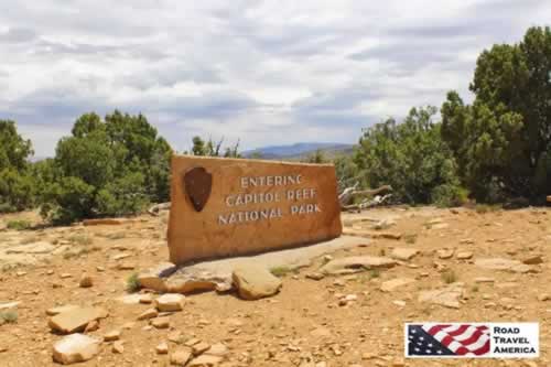 |
Dusty day in the 4x4 on Burr Trail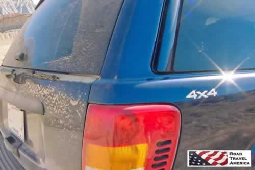 |
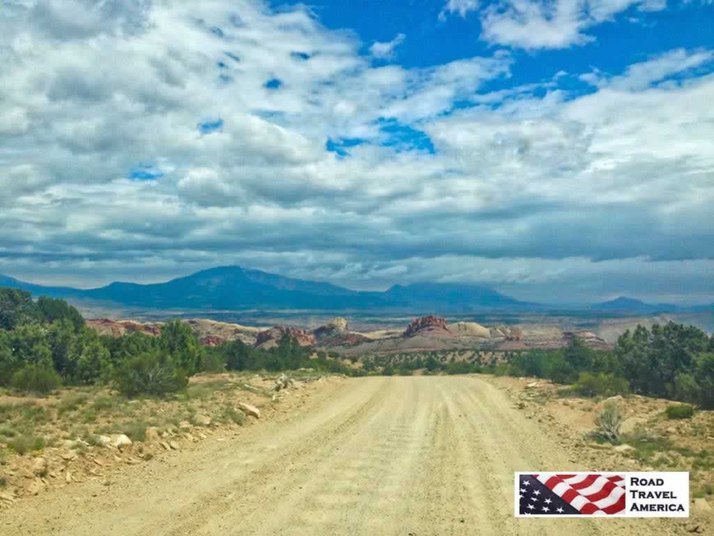
Driving the dirt and gravel section of the Burr Trail, experiencing some washboarding, on the way to the switchbacks
Quick Trip Along the Burr Trail!
We've prepared this short, 4-minute video about the Burr Trail ... sit back and enjoy ... and turn up your volume for some easy-listening music!
Like all YouTube videos, you can click to run it full screen, and mute the music if you like.
For More Information About the Boulder Area
Burr Trail on the Glen Canyon National Recreation area official website at NPS
Burr Trail at the ScenicByway12.com website
Boulder on VisitUtah.com website
More About the Burr Trail
Read more about the Burr Trail, with photographs, travel information and maps
